
CATSKILLS ADVENTURE CHALLENGE
ADVENTURE AWAITS IN THE HEART OF THE CATSKILLS
WHAT IS THE CATSKILLS ADVENTURE CHALLENGE?
The Catskills Adventure Challenge is a series of guides created to introduce you to recreational and cultural opportunities in the Catskills. This region abounds with hikes, breathtaking views, diverse flora and fauna, art spaces, history museums, and many other opportunities. Pick the Catskills Adventure that matches your interest or try something new!
HOW DO I EARN THE CATSKILLS ADVENTURE CHALLENGE PATCH?
Each Catskills Adventure Challenge comes with its own unique patch. Complete the specified number of adventures listed in the guide, take a picture of yourself during each adventure, and fill out the submission form found below. Once your photo and form are submitted, you will be sent the patch for the completed adventure.
STEP 1: CHOOSE YOUR ADVENTURE
↓
-
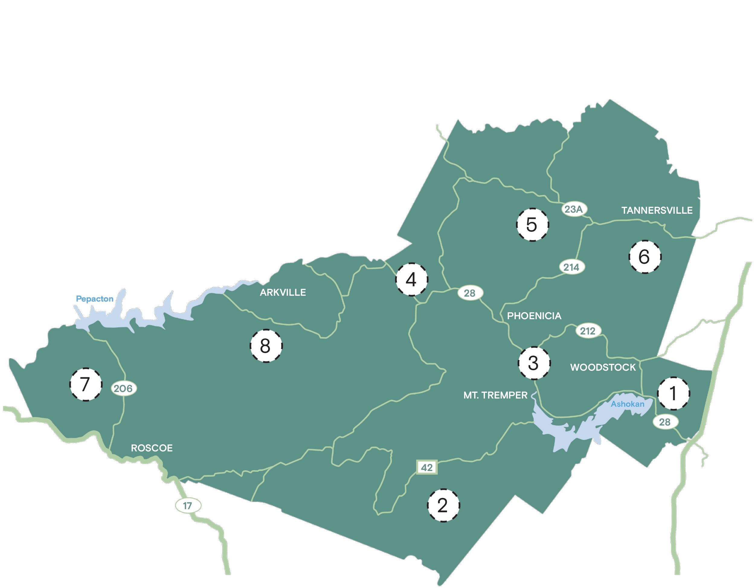
Trailhead Location: 41.984094°N, 74.082791°W
Distance from CVC: 13.9 miles
Trail: approx. 3 miles / 2 hours
Difficulty: easy / fairly flat, loop trail
About: The Onteora Lake trail near West Hurley, NY in the Bluestone Wild Forest consists of many loops that can be utilized to create a hike between 1.8 to 6.7-miles. There are several marked and unmarked trails in this area—stay on the trail marked Onteora Lake Loop for the 3 mile hike.
-
Trailhead Location: 41.871867°N, 74.369789°W
Distance from CVC: 17.6 miles
Trail: approx. 3.5 miles / 2.25 hours
Difficulty: moderate / steep in spots
About: Vernooy Kill Falls is a series of picturesque little waterfalls with pools, dropping about 30 feet in 4 stages. The 3.5 mile out-and-back trail near Kerhonkson, NY can be rocky and steep, so take caution during wet weather and the winter months.
-
Description text goTrailhead Location: 42.028094°N, 74.269754°W
Trail: approx. 0.5 miles / 0.5 hours
Difficulty: easy / ADA accessible
About: This ADA accessible loop trail circles the Catskills Visitor Center in Mount Tremper, NY. Along the trail are multiple interpretive panels telling the story of the site and the ecology and history of the Catskills.es here
-
Item desTrailhead Location: 42.116493°N, 74.452440°W
Distance from CVC: 14.2 miles
Trail: 2.7-4.8 miles/ 2.25 hours
Difficulty: moderate
About: The Rochester Hollow parcel near Big Indian, NY has three marked trails. Colonel Rochester Trail (blue blaze – 2.7 miles). The Burrough’s Memorial Forest Trail loops off the blue trail (yellow blaze -0.7 miles) and the Eignor Farm Trail (red blaze- 1.4 miles) continues from the end of the Blue trail and loops back to it. cription
-
Trailhead Location: 42.182385°N, 74.269997°W
Distance from CVC: 24 miles
Trail: approx. 5.4 miles / 3.5 hours
Difficulty: moderate to challenging
About: The Diamond Notch trail near Lanesville, NY extends south from Spruceton Road through Diamond Notch. At 0.7 mile, the trail passes Diamond Notch Falls and the intersection with the Devils Path. At 1.2 miles, the trail passes a lean-to and the Diamond Notch. This trail is wide but extremely rocky and you should plan to move slowly with care.
-
Trailhead Location: 42.133607°N, 74.082241°W
Distance from CVC: 24 miles
Trail: approx. 0.7 miles / 0.25 hour
Difficulty: easy to moderate
About: Located just 5 miles outside of Tannersville, NY, the yellow-marked Waterfall Trail has a 110’ change in elevation down to the base of Plattekill Falls. The trail begins at the trail junction in front of the informational kiosk just above the Red Cabin. The path is narrow and descends through a steep gorge. Proper footwear is required to safely navigate this trail.
-
Trailhead Location: 42.042591°N, 74.9748268°W
Distance from CVC: 56.5 miles
Trail: approx. 4 miles/ 2.5 hours
Difficulty: moderate
About: The Trout Pond trail is a 4-mile out-and-back trail near Downsville, NY that begins from the Russell Brook Road parking lot. Trail starts near a small meadow, waterfall, and the ruins of an old mill site, and follows the Trout Pond outlet stream to this human-made and very scenic 19-acre pond. Hike is a steady, gentle climb.
-
Trailhead Location: 42.049795°N, 74.682757 °W
Distance from CVC: 45.9 miles
Trail: approx. 2.4 miles/ 1.5 hours
Difficulty: easy
About: This is a 2.4-mile loop that circles Alder Lake in Hardenburgh, NY. It is an easy trail with minimal elevation. An all-wheel-drive vehicle is recommended to access the trails during the winter months.
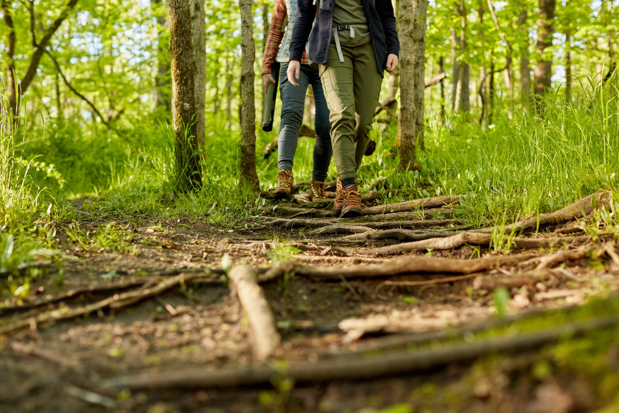
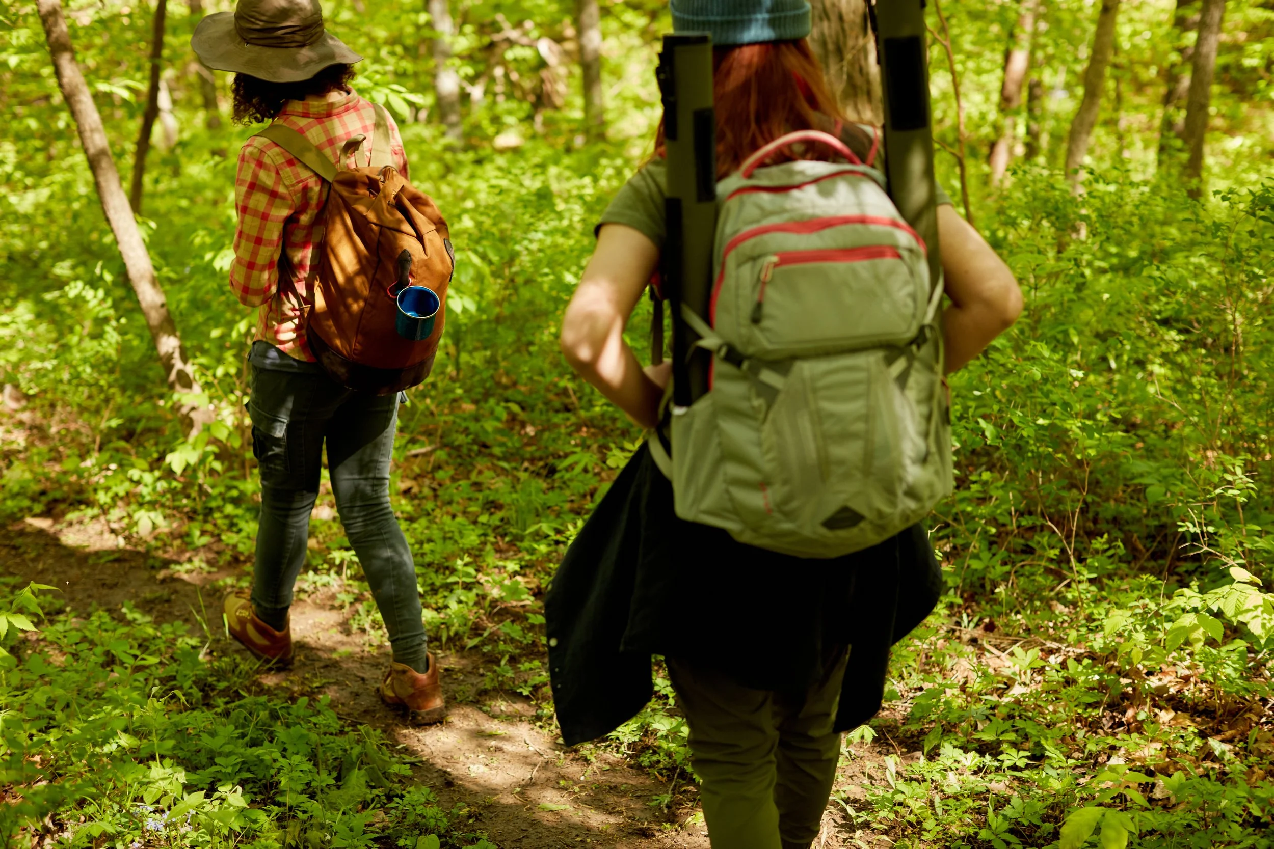
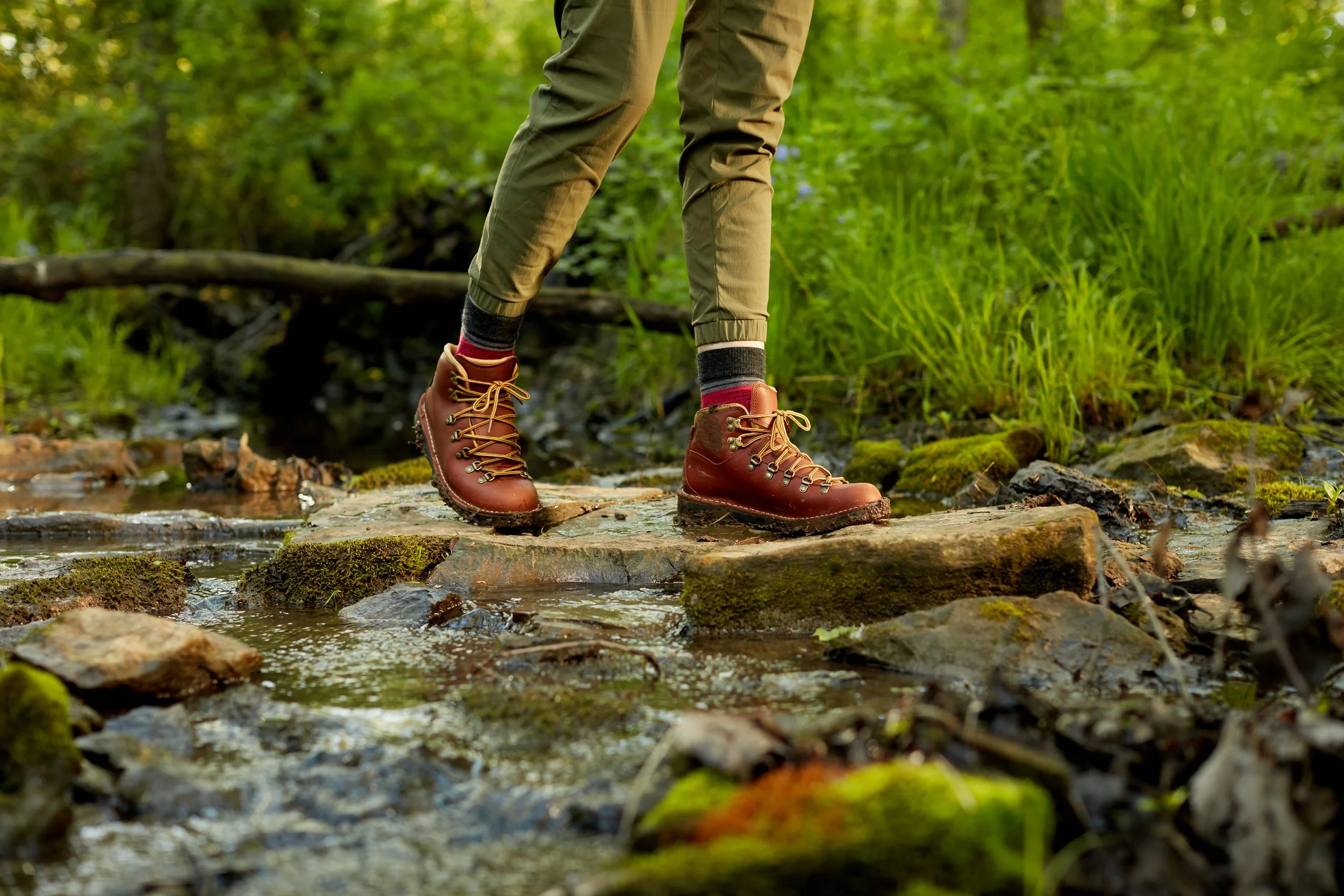
CATSKILLS ADVENTURE CHALLENGE: HIKES
Complete six of the eight hikes listed below to earn the Catskills Adventure Challenge patch.
STEP 2: RECORD YOUR ADVENTURE
↓
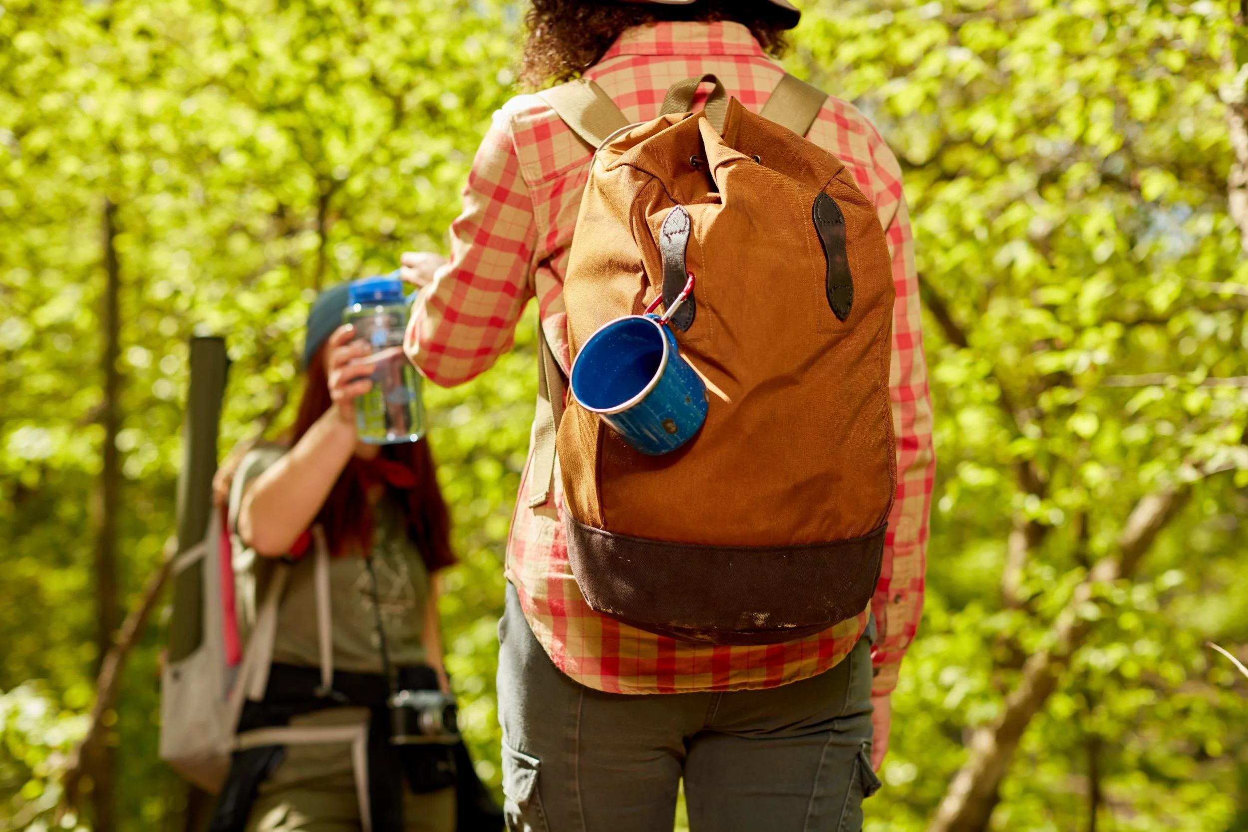
SHARE YOUR ADVENTURE WITH US
We want to hear all about your Catskills Adventure Challenge! Your stories and snapshots help us highlight the beauty and excitement of the Catskills, and inspire others to join in the adventure.
STEP 3: COMMEMORATE YOUR ADVENTURE
↓
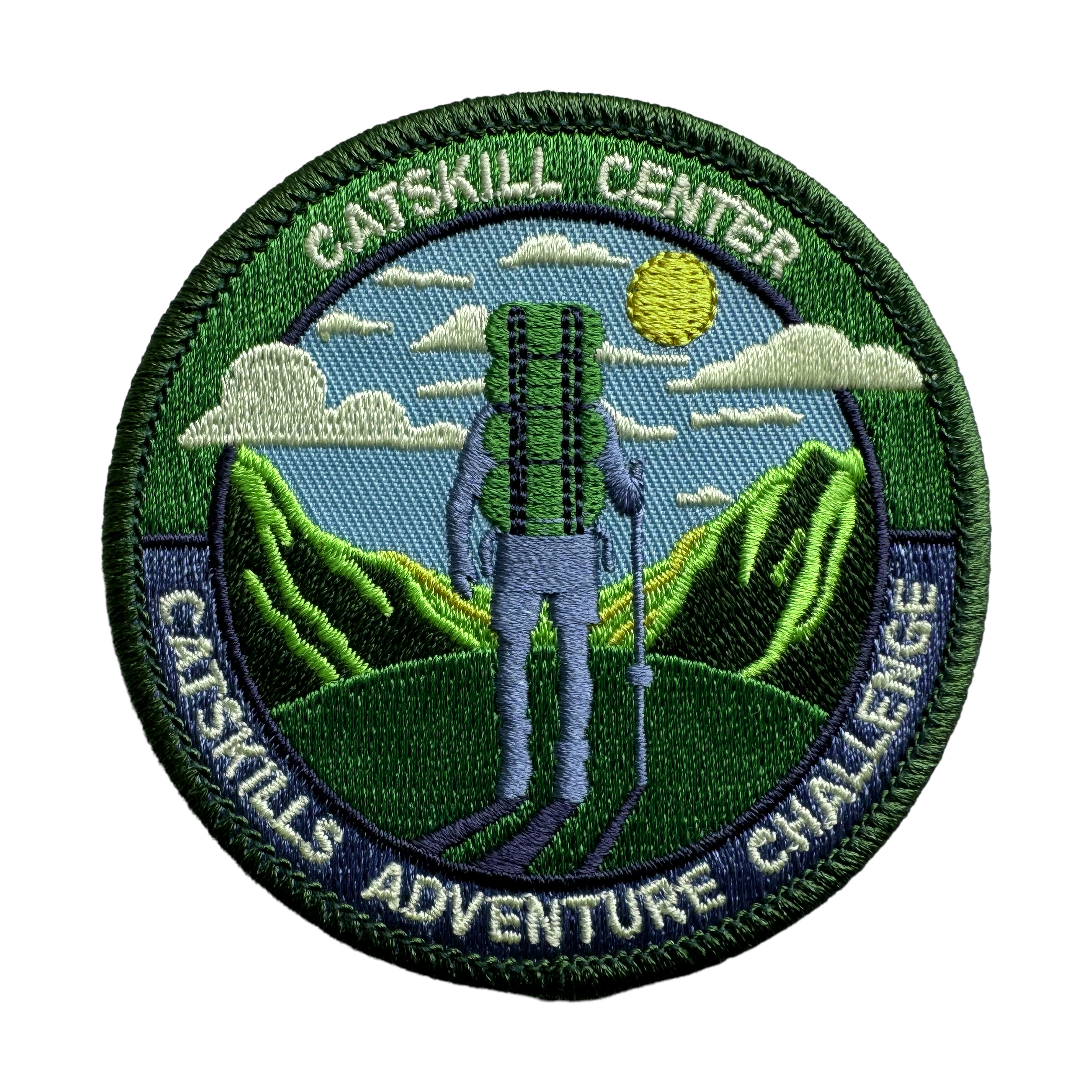
WEAR YOUR CATSKILLS PRIDE
The Catskills Adventure Challenge patch is a symbolic token of your adventurous spirit and lasting connection to the Catskills. Be sure to collect them all!